Carnoët and the site of Saint-Gildas on the Cassini map
The term carn or cairn refers to an eminence of earth covering a burial site (tumulus in Latin). This tomb, whose etymology is also found in the name Carnac, bears witness to the ancient presence of humans in Carnoët. At the end of the 19th century, Carnoët was home to two menhirs, each three and five metres high, and five tumuli, including the one at Saint-Gildas.
Vorgium (the Latin name for Carhaix), a crossroads town during the Roman occupation, had established surveillance points for communication routes. Three Roman roads pass through Carnoët, including one at the foot of Tossen Sant Gweltas. It is highly probable that the mound served as an observatory. As for the idea of a Roman camp, there is no historical evidence to support this, despite the observation of a well-structured enclosure in the field in 1931.
The feudal motte and the chapel of Saint-Gildas
Tumulus, oppidum, motte… The dominant position of the site has always been a strategic point of surveillance and defence. Castral or feudal mottes (if attached to a fiefdom) are artificial mounds that formed the basis of the first medieval wooden castles between 1000 and 1250. The date of construction of the one known as Saint Gildas is unknown.
No trace remains of the structure built in the crater, but we do know that the wooden watchtower at its centre was surrounded by a high, solid palisade.
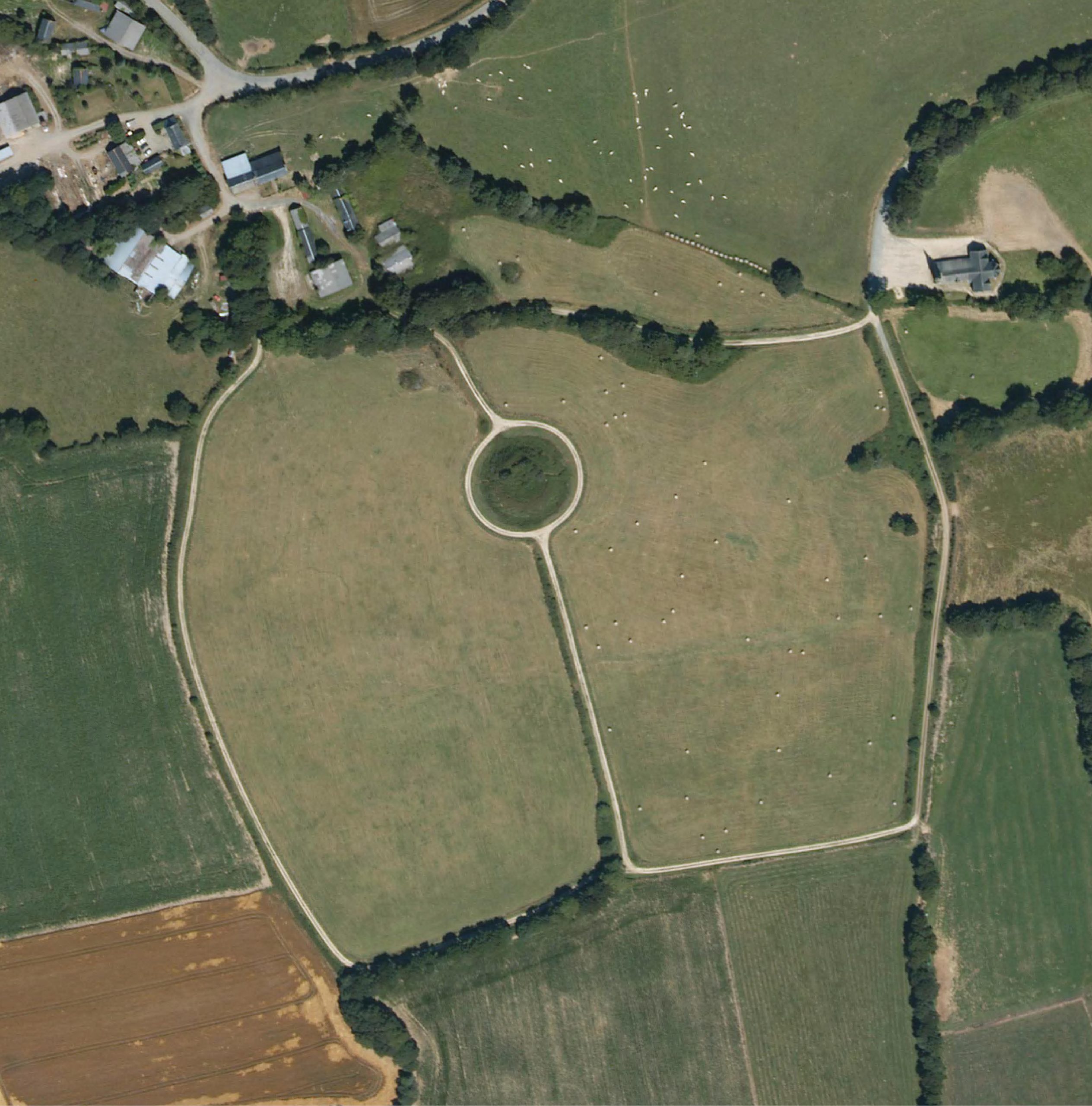
The “castle” was isolated from the other defences by a deep circular moat 120 metres in circumference, backed up by an earthen buttress five metres high and six metres wide. A removable footbridge, the forerunner of the drawbridge, provided access. An eighty-metre-long crescent-shaped defensive structure with an embankment and palisade formed the outpost.
According to historian Frédéric Morvan, this complex dominated a rectangular wooden enclosure around a hundred metres away, probably of Gallo-Roman origin, which included stables, dwellings, a chapel and farm buildings.
All that remains of the medieval configuration is the motte and its moat; all other earthen remains have been destroyed.
The battle of the Bretons against Richard the Lionheart
It’s a historical fact that a battle did indeed take place on the site: “in Cornouaille, near the town of Kaerhes” in early 1197. There are a few etymological clues: Guerzozic or Kersaozon (the village of the Englishman), Parc ar Veret (the cemetery field) and, above all, oral tradition, which has handed down the location of the battle from generation to generation: Tossen Sant Gweltaz- or Veltas (Saint Gildas hill) in Carnoët.
The protagonists: on the one hand, a coalition of Breton barons defending the rights of succession of Arthur of Brittany, son of Duchess Constance and the late Geoffrey II of Brittany or Geoffrey Plantagenet; on the other, the army of the King of England, RichardI, also known as Richard the Lionheart (Arthur of Brittany’s uncle), made up largely of mercenaries. Following the death of his brother, Richard wanted to seize his nephew to ensure his guardianship and thus remain master of Brittany.
According to some historians, the battle claimed 6,000 lives. But one thing is certain: it was nightfall, early in January-February, that saved Richard’s army from total rout. Carnoët was indeed the scene of an important battle, the victory of which belongs to the Bretons, who were able to demonstrate their ability to mobilise against a feared adversary.
The feudal mound was sold along with the chapel in 1703 to Charles Fleuriot de Langle, the grandfather of the navigator who died in Papua with Lapérouse and who mapped Easter Island. The Fleuriot de Langle family held the seigneury of Carnoët until the French Revolution.
In the middle of the 19th century, the motte feudale was visited by archaeological societies eager to find “Gallic remains”.
At the beginning of the twentieth century, the site played host to neo-Druid gatherings led by the local “bard”, Taldir, François Jafrennou. It is also said that Sébastien Le Balp, leader of the Red Bonnet revolt of 1675, harangued his men one last time on the Tossen Sant-Gweltaz before being murdered in Poullaouen.
In 1997, Rémy Lorinquer, then mayor of Carnoët, had the excellent idea of having the commune acquire the site. The second wall of the motte had already been levelled by tractors.
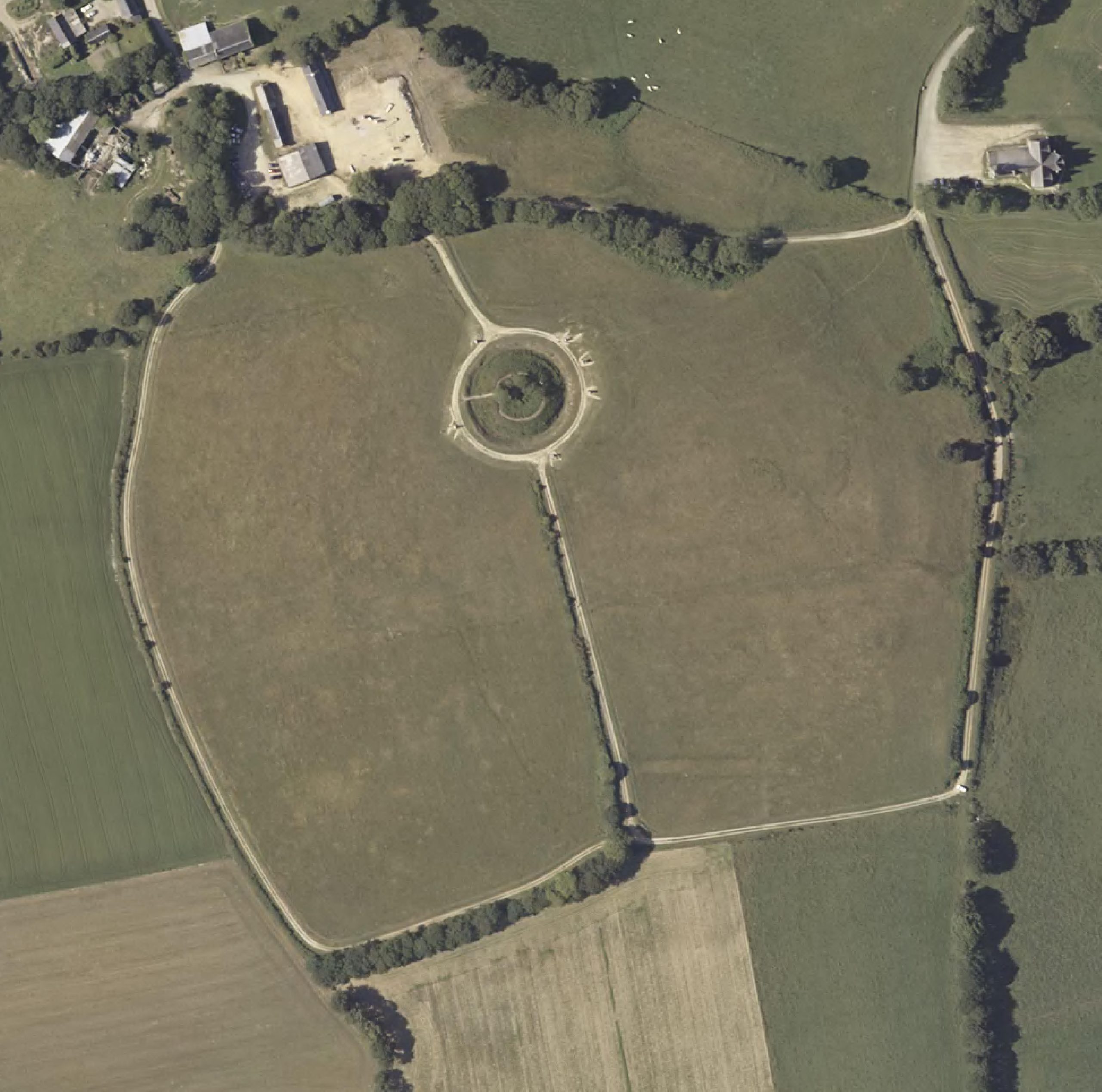
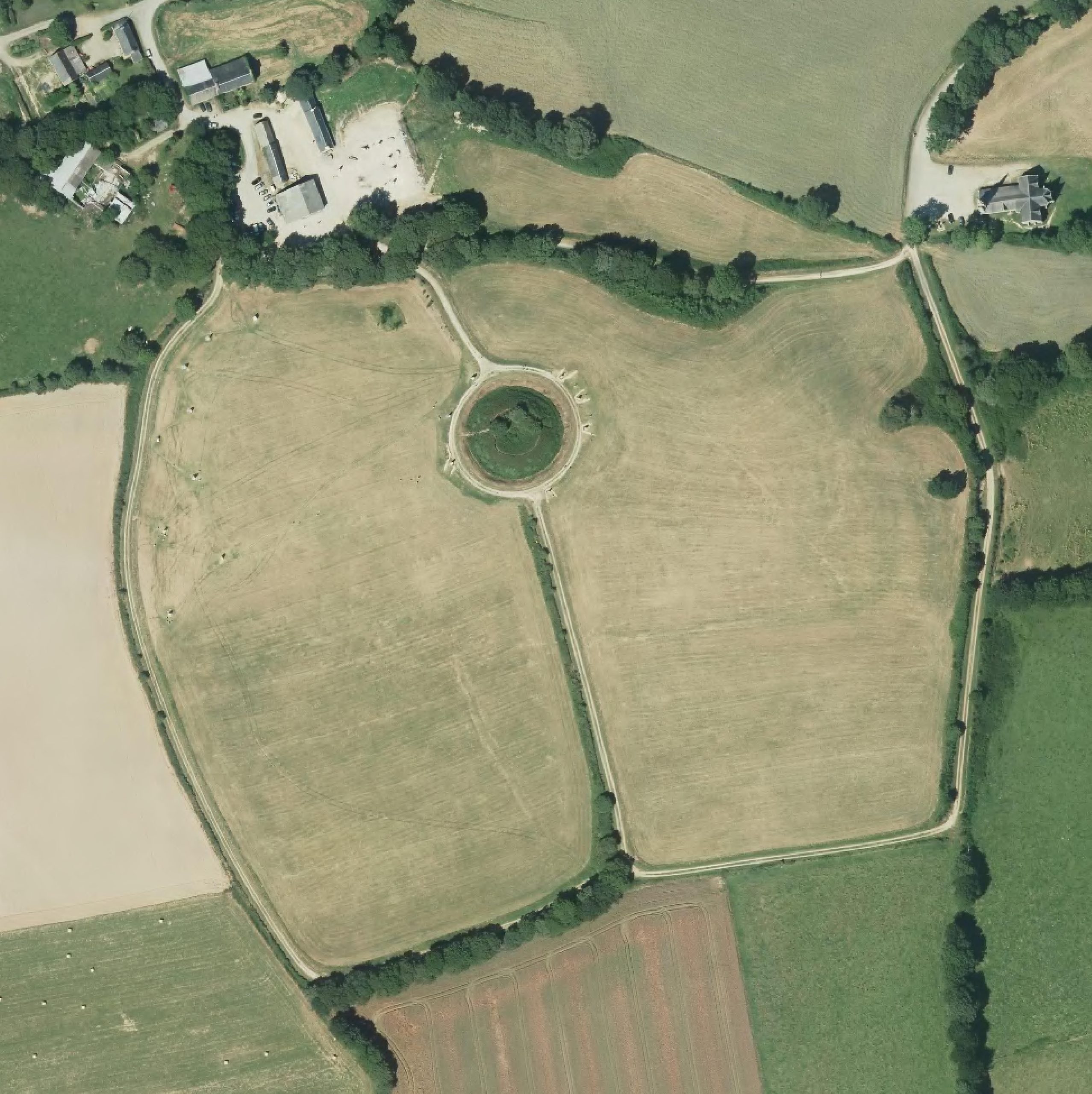
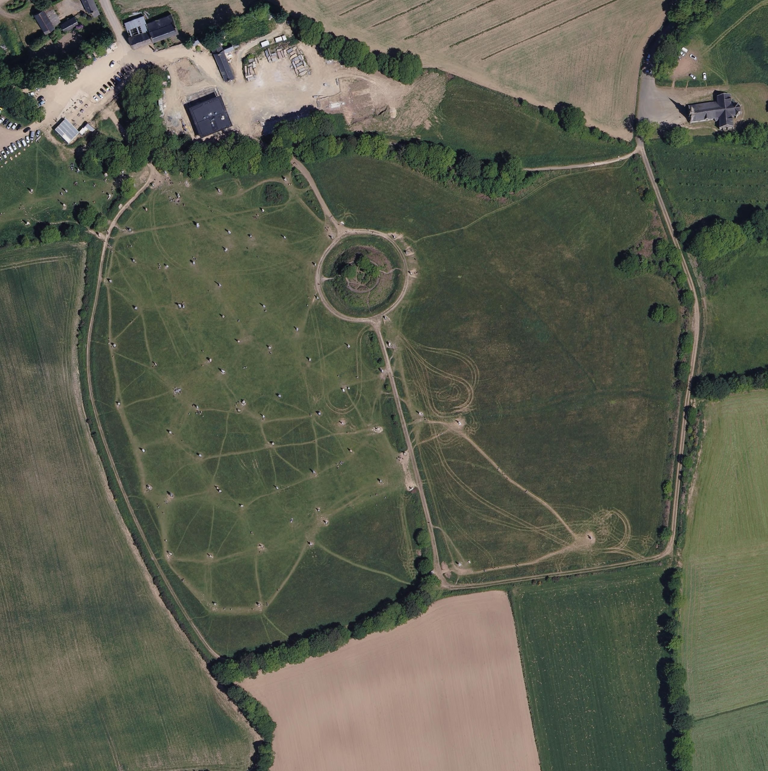
The evolution of the site from the air
The feudal mound designed by Viscount Frotier de la Messelière in 1931
The site in 2011 with the first statues